Wellington Adopts NZ’s Largest Cycleway Network
![]()
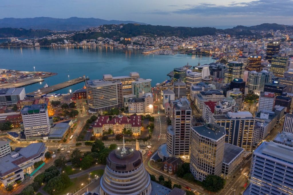
Wellington, NZ
A 166km cycleway network has been approved for NZ city Wellington, to be established over the next 10 years.
A Wellington City Council meeting last month voted to approve the $334 million project, after adding 37km to the 129km proposal put out for community consultation late last year.
The council received 1,140 submissions while its draft Bike Network Plan was on exhibition in November and December, with 87% supporting the plan.
Ninety percent agreed a connected network will get more people riding bikes.
Feedback received during consultation prompted the council to add further sections of bike path. More accurate alignment of cycleways during the detailed design phase also contributed to the increased distance to a final total of 166km.
According to local newspaper The Dominion Post, the plan will leave around 20% of Wellington roads with separated bike lanes, linking the CBD with every major suburb.
More Cycleway Than Any Other NZ City
While Wellington currently has a total of around 23km of cycleways, this project would give Wellington more separated bike lanes than any other NZ city. NZ’s most populous city, Auckland, currently tops the list with 120km.
A report to this month’s meeting said Wellington City Council’s Long-Term Plan 2021-2031 provided $226 million over the next 10 years to accelerate the delivery of a connected bike network.
“This is in addition to substantial investments expected by the Let’s Get Wellington Moving program which will provide walking, cycling and bus priority improvements on routes to and through the city centre, and projects addressing mass rapid transport (MRT), travel demand management and state highway improvements.”
“The funding provided in the 10-year long-term plan is sufficient to progress about two thirds of the recommended strategic bike network and that no additional funding beyond 10-years has been provided in the 30-year Infrastructure Strategy. This can be considered in the next review of these plans.
“A well-connected walking and cycling network will be key to accommodating more people in the city without adding to car congestion or putting pressure on our bus services”
Wellington City Council aims to have the whole network in place by 2031, which could include some temporary infrastructure until more permanent provisions are in place.
“Officers are currently planning implementation of the first two transitional projects: City to Newtown and City to Botanic Garden,” the council report says.
“These are expected to start implementation by the middle of this year.”
Potential Expansion to Waterfront
The report said Wellington’s waterfront quays would not be part of the cycleway network initially, because of space constraints identified by currently planning for a Let’s Get Wellington Moving mass rapid transit project along the quays.
It said cycling infrastructure is in the current scope for the quays project but other mass rapid transport objectives took priority.
“If further investigations show that it is possible to establish a high-quality, bike friendly route along the waterfront quays, then this is a highly desirable connection,” it says.
The Bike Network Plan is a refresh of the council’s 2015 Cycleways Masterplan and comes after the organisation declared a state of climate and ecological emergency in June 2019.
“We aim to become a net zero carbon city by 2050, which also requires at least halving carbon emissions by 2030.
“Road transport emissions (from vehicles including cars, motorbikes, and trucks) represent 34% of our city’s emissions and are the single biggest source.
“Electric vehicles cannot solve this problem on their own, given their relative expense and constrained supply. Making it safe and easy to cycle, walk, and use public transport for everyday trips will be a key part of cutting road transport emissions in Wellington.”
The meeting was told a connected citywide bike network was also expected to have a “very positive impact on the health (mental and physical), safety and well-being of Wellingtonians now and in the future”.
Parking Policy for Better Transport Flows
In August 2020, the council adopted a parking policy that included future use of council-controlled parking spaces and parking prices, to facilitate a shift to using active and public transport and using cars less.
It focuses on people moving along transport corridors, rather than using those spaces for parking or storing stationary vehicles.
“It provides a blueprint for more housing to accommodate a growing population in Wellington over the next 30 years. The plan is the blueprint for how the city can accommodate 50,000 – 80,000 more people within a 15-minute walking catchment of the central city and 10-minute walking catchments of our suburban centres and rapid transit stops,” the report explains.
“A well-connected walking and cycling network will be key to accommodating more people in the city without adding to car congestion or putting pressure on our bus services.
The council’s Wellington Regional Transport Committee adopted a 2021 regional land transport plan headed by several 10-year targets: a 40% reduction in road deaths and serious injuries, 35% reduction in transport generated carbon emissions, and 40% increase in active travel and public transport patronage.
“Development of the city’s strategic bike network will significantly contribute towards the achievement of these targets,” the council says.