NSW Rail Trails on Track Following Legislation Change

Sydney, NSW
NSW is poised to gain a rapid succession of new rail trails over the next few years, in the wake of recent legislative changes to remove a major obstacle to converting disused rail corridors into cycling and walking trails, according to Australia’s peak rail trails advocacy group.
“Hopefully within five years we could easily see around five new rail trails in NSW that don’t exist today,” according to a NSW representative of Rail Trails Australia, Sam Reich.
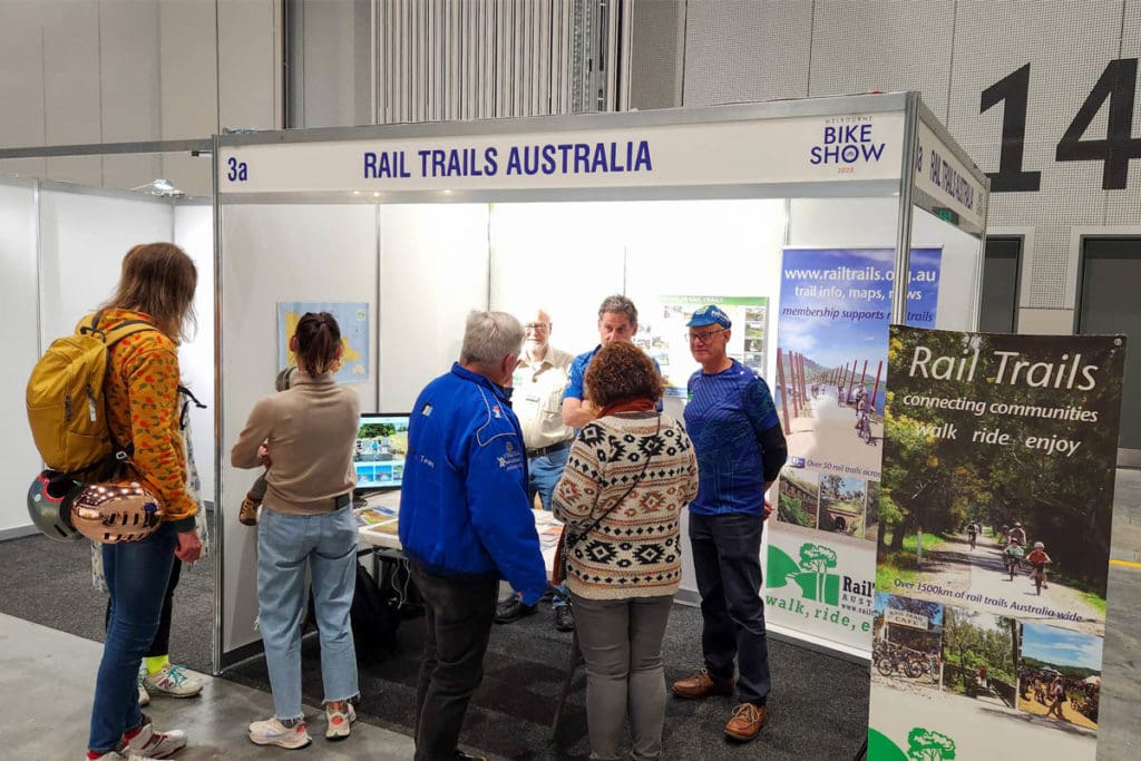
Sam, who is overseeing a Rail Trails Australia stand at the 2022 Micromobility Conference & Expo, said the legislative changes passed by NSW Parliament in August have been a major shot in the arm for several new rail trail projects that have been in the pipeline.
Projects in the Monaro, Riverina, New England, Northern Rivers and Newcastle regions have been given much greater impetus since legislation enabled rail corridors to be repurposed without the need for an Act of Parliament to officially close the site as railway land.
The legislation enables the Minister for Transport to grant 30-year leases to local governments for disused government-owned NSW rail corridors, to enable the corridors to be used for tourism purposes.
“A legislative hurdle has been overcome which previously had made any progress almost impossible.”
Previously, each rail trail proposal in NSW required a separate Act of Parliament to ‘close’ and re-purpose the corridor, allowing political manoeuvring to block the progress of potential rail trail projects.
That was a significant delay for both the State’s only existing operational rail trail on a government rail corridor, from Tumbarumba to Rosewood, and the Murwillumbah to Crabbes Creek trail set to officially open in the Northern Rivers early next year.
Sam said an update on the legislative changes and its impact on the emergence of rail trails throughout NSW will be outlined at Rail Trail Australia’s expo stand.
“There’s a lot of good news stories. We’re quite a way behind Victoria and we’re in a budget-constrained time. But at least a legislative hurdle has been overcome which previously had made any progress almost impossible,” he said.
“This really has put the onus back on councils to take a lead role on this. As part of the new legislation, they still have to a business case that is positive and compelling for the trail, and must demonstrate overwhelming community support for the project.
“While some councils are resisting the introduction of rail trails in their local government area, because they aren’t prepared to bear the ongoing cost of maintaining the infrastructure, others are embracing the concept.”
He said in addition to the Murwillumbah trail, another two stages of the full Northern Rivers Rail Trail have been given conceptual approval and funding. One of those stages between Lismore and Casino is expected to be under construction next year.
City of Newcastle has gained development consent for its portion of the proposed Richmond Vale Rail Trail, a 32km cycling and walking track between Kurri Kurri and Hexham, along the former Chichester to Newcastle water pipeline between Shortland and Tarro, and through the Hunter Wetlands National Park.
It sits within the City of Newcastle, Lake Macquarie and Cessnock City Council areas.
Sam said the New England Rail Trail has two stages funded between Armidale and Glen Innes, and rail trail projects in the Riverina, at Tumut and Cootamundra, are also on the drawing board.
“A lot of the rail trail projects now underway are in areas hit by bushfires and floods, so the government was very keen to do whatever it could be provide economic stimulus for those areas,” he explained.
Reinvigorated Website
Rail Trail Australia’s expo stand will also promote its upgraded website, which makes it easier for people to find and negotiate rail trails throughout Australia.
“We’ve refreshed all the information on the site, plus added an interactive map and made the site mobile friendly,” Sam said.
“We’re really proud of the improved site and will be pushing it as added value for membership with the organisation.
“It makes it much easier to navigate to the trails and find information about their length and the services available along their route.
“We’re now working on incorporating elevation profiles, so people can see where the climbs and valleys are.”
